World Europe Political Map
Click on the World Europe Political Map to view it full screen. File Type: jpg, File size: 464750 bytes (453.86 KB), Map Dimensions: 1200px x 1200px (16777216 colors)
More Europe Static Maps
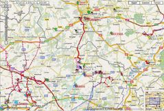
Ais Manche Est
925 x 459 - 46,105k - png
Aaker Central Europa
805 x 553 - 9,741k - png
Aegeanislands
1276 x 804 - 18,635k - png
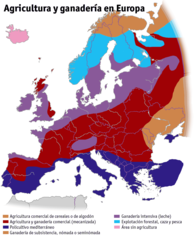
Agricultura Ganaderia Europa
1242 x 1535 - 64,759k - png
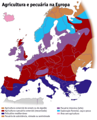
Agricultura Pecuaria Europa Pt
1242 x 1535 - 64,046k - png
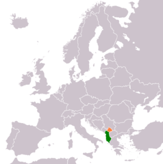
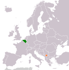
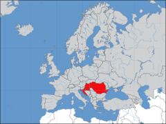
Albania Kosovo Locator
1236 x 1245 - 28,901k - png
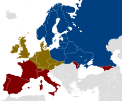
Alcohol Belt
1200 x 1000 - 25,308k - png
Aprs Benelux
969 x 657 - 181,142k - jpg
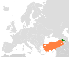
Armenia Turkey Locator
1200 x 1000 - 24,967k - png
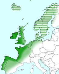
Atlantic Europe
712 x 880 - 56,593k - jpg
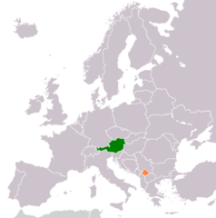
Austria Kosovo Locator
1236 x 1245 - 28,749k - png
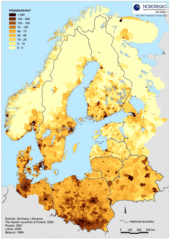
Baltic Pop Density 2
500 x 702 - 136,153k - gif
Baptists In Europe
912 x 976 - 55,868k - png
Belgium Kosovo Locator
1236 x 1245 - 28,711k - png
Blankmap Europe2 Coloured
800 x 487 - 20,947k - png
Blankmap Europe2
800 x 487 - 33,410k - png
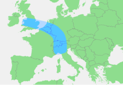
Blaue Banane
767 x 534 - 13,116k - png
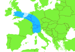
Blue Banana
767 x 534 - 13,110k - png
Bricorstore Location
1600 x 1200 - 123,201k - png
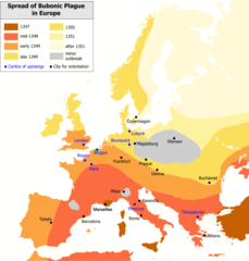
Bubonic Plague Map 2
1000 x 1048 - 38,505k - png
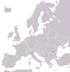
Bucarest In Europe Map
1218 x 1245 - 28,604k - png
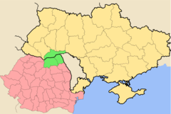
Bucovina Romania Ukraine
1266 x 850 - 45,941k - png
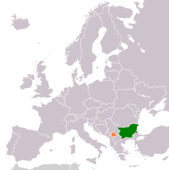
Bulgaria Kosovo Locator
1236 x 1245 - 28,723k - png
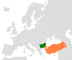
Bulgaria Turkey Locator
1200 x 1000 - 24,689k - png
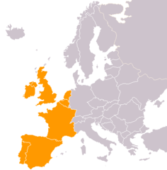
Cia Western Europe Map
415 x 422 - 5,735k - png
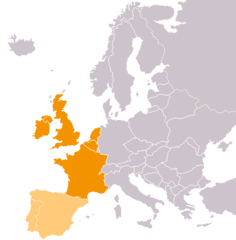
Cia Western Europe Map2
415 x 422 - 5,909k - png
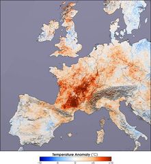
Canicule Europe 2003
540 x 586 - 50,851k - jpg
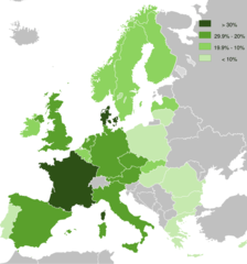
Cannabis Use Among Adults (aged 15 64)
912 x 976 - 50,658k - png
Carte Continent Europe
920 x 598 - 22,693k - png
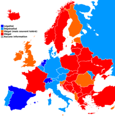
Carteeuropecannabismedical
1236 x 1245 - 54,493k - gif