Ecuador Cantons
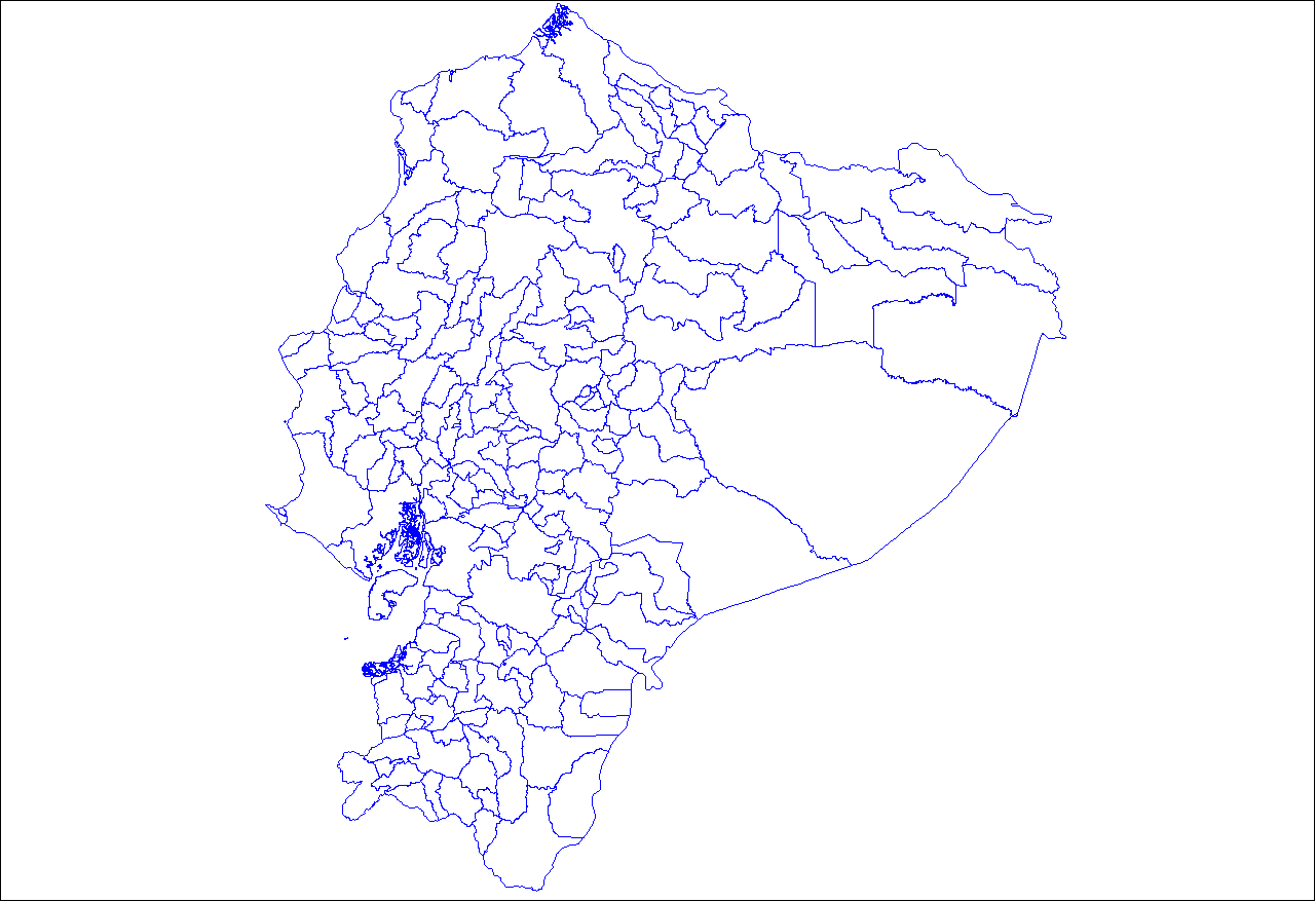
Click on the Ecuador Cantons to view it full screen. File Type: png, File size: 25030 bytes (24.44 KB), Map Dimensions: 1281px x 878px (256 colors)
More Republic of Ecuador Static Maps
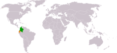
Colombia Ecuador Locator
1325 x 601 - 16,382k - png
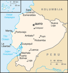
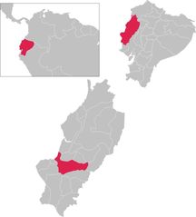
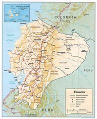
Ec Map Hr
341 x 367 - 10,963k - png
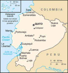
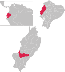
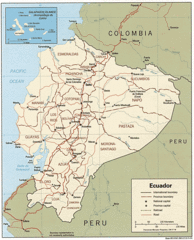
Ec Map
341 x 367 - 10,967k - png
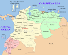
Ecuador Colombia Venezuela Map 1
1200 x 970 - 166,239k - png
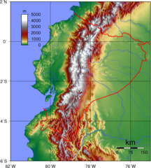
Ecuador Topography
903 x 1005 - 321,208k - png

Ecuador Cantons
1281 x 878 - 25,030k - png
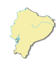
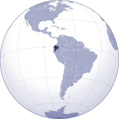
Ecuador Locatorv2
330 x 355 - 5,678k - png
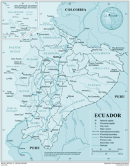
Ecuadormapa
538 x 599 - 110,651k - png
Flag Map of Ecuador
903 x 1048 - 41,900k - png
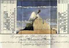
Humboldt1805 Chimborazo
2155 x 1494 - 281,626k - jpg
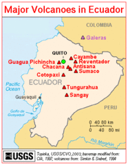
Majorvolcanoesinecuador Usgs
349 x 450 - 22,970k - gif
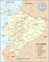
Map of Ecuador Demis
1000 x 1000 - 227,826k - png
Mapa Portoviejo
866 x 958 - 27,356k - jpg
Mapa Portoviejo 1
1900 x 2101 - 80,479k - png

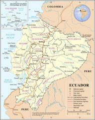
Provinces of Ecuador
450 x 394 - 9,722k - png
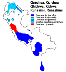
Quechua Subgroups 1
407 x 445 - 10,402k - gif

Un Ecuador
1200 x 1506 - 319,254k - png
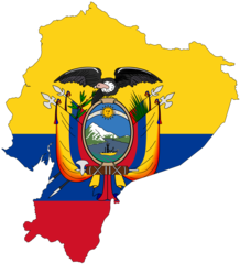
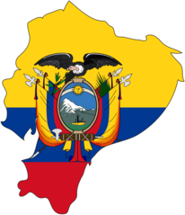
Ecuador Flag Map
2048 x 2258 - 194,637k - png

Ecuador Map
1100 x 1030 - 392,554k - jpg
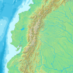
Ecuador Shaded Relief Map
1019 x 1245 - 177,011k - jpg
Ecuador Political Map 1991
994 x 1230 - 274,368k - gif
Ecuador Map 1
1600 x 2008 - 671,690k - png
Ecuador Political Map
2222 x 2789 - 603,200k - jpg
Ecuador Shaded Relief Map 1
1019 x 1245 - 177,011k - jpg
Where Is Ecuador Located
1000 x 1000 - 83,365k - png
Ecuador
1962 x 2503 - 385,172k - png