Bangkok, Bangkok
Bangkok: Capital of Thailand
About

Quick Facts about Bangkok
| Population : | 5,676,648 |
| Country : | Thailand |
| State : | Bangkok (Thailand) |
| Postal code : | 10### |
| Phone Area Codes : | 02 |
| Area : | 1568.74 km2 |
| Official name : | กรุงเทพมหานคร อมรรัตนโกสินทร์ มหินทรายุธยา มหาดิลกภพ นพรัตนราชธานีบูรีรมย์ อุดมราชนิเวศน์มหาสถาน อมรพิมานอวตารสถิต สักกะทัตติยวิษณุกรรมประสิทธิ์ |
| Legislative body : | Bangkok municipal council |
| Altitude : | 7 feet / 2 meters |
| Capital city : | Bangkok is capital of Rattanakosin Kingdom, Thailand |
| Establishment : | April 04, 1782 (241 years ago) |
| Time Zone : | UTC+07:00 |
| Local time : | 00:10:38 (20th April 2024) |
Geography
Bangkok is located at 13°45'14"N 100°30'5"E (13.7539800, 100.5014400).
Bangkok map
Click "full screen"  icon to open full mode. View satellite images
- Official Website
Official website of Bangkok
- Aichi Prefecture (2012 )
- Ankara (2012 )
- Beijing (1993 )
- Brisbane (1997 )
- Budapest (1997 )
- Busan (2011 )
- Chaozhou (2005 )
- Chongqing (2011 )
- Fukuoka (2006 )
- Fukuoka Prefecture (2006 )
- George Town (2012 )
- Guangzhou (2009 )
- Hanoi (2004 )
- Jakarta (2002 )
- Lausanne (2009 )
- Manila (1997 )
- Moscow (1997 )
- Nur-Sultan (2004 )
- Phnom Penh (2013 )
- Saint Petersburg (1997 )
- Seoul (2006 )
- Shandong (2013 )
- Shanghai (2012 )
- Taipei (2010 )
- Tehran (2012 )
- Tianjin (2012 )
- Vientiane (2004 )
- Washington, D.C. (1962 )
- Wuhan (2013 )
Demographics
| Year | Population | % Change | Method |
| 1919 | 437,294 | - | census |
| 1929 | 713,384 | 38.7% | census |
| 1937 | 890,453 | 19.89% | census |
| 1947 | 1,178,881 | 24.47% | census |
| 1960 | 2,136,435 | 44.82% | census |
| 1970 | 3,077,361 | 30.58% | census |
| 1980 | 4,697,071 | 34.48% | census |
| 1990 | 5,882,411 | 20.15% | census |
| 2000 | 6,355,144 | 7.44% | census |
| 2010 | 8,280,925 | 23.26% | census |
| 2011 | 5,674,843 | -45.92% | resident registration |
| 2015 | 5,696,409 | 0.38% | resident registration |
| 2016 | 5,686,646 | -0.17% | resident registration |
| 2018 | 5,676,648 | -0.18% | resident registration |
Amphoe Phra Nakhon, BKK, Ban'nkok, Bancac, Bancocum, Bancoque, Bancác, Banghok, Bangkok, Bangkok Metropolis, Bangkoka, Bangkòk, Banguecoque, Bankok, Bankokas, Bankoko, Banqkok, Changwat Phra Nakhon, Krung Thep, Krung Thep Maha Nakhon, Krung Thep Maha Nakhon Amon Rattanakosin Mahintarayutthaya Maha Dilok Phop Noppharat Ratchathani Buri Rom Udom Ratchaniwet Maha Sathan Amon Phiman Awatan Sathit Sakka Thattiya Witsanukam Prasit, Krungdeb, Man-kuk, Màn-kuk, Phra Nakhon, Siayuthia, The City of Angels, bainkaka, bainkoka, bamkoka, bangkog, bangkwk, bankeakk, bankoku, bankwk, bngqwq, bnkak, byankak, byankaka, camraata byankaka, krungtheph, krungthephmhankhr, krungtheph‡, man gu, penkak, Μπανγκόκ, Бангкок, Банкок, Баҥкок, Բանգկոկ, באנגקאק, בנגקוק, بانكوك, بانکوک, بانکۆک, بانګکوک, بانگكوك, بنکاک, बँकॉक, बैंकक, बैंकॉक, চাংৱাত ব্যাংকক, ব্যাংকক, ਬੈਂਕਾਕ, பேங்காக், ಬ್ಯಾಂಕಾಕ್, ബാങ്കോക്ക്, බැංකොක්, กรุงเทพ, กรุงเทพมหานคร, กรุงเทพฯ, ບາງກອກ, པན་ཀོག, ဘန်ကောက်မြို့, ბანგკოკი, ባንኮክ, バンコク, 曼谷, 방콕
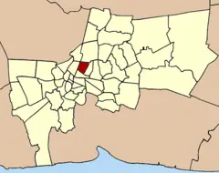
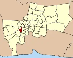
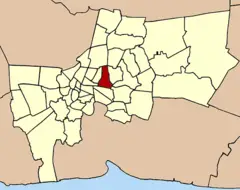
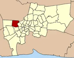
Map & Images (more maps)
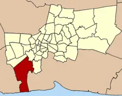
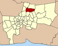
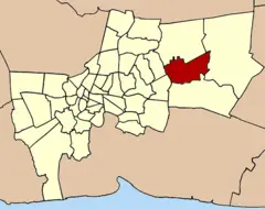
Amphoe 1001
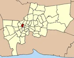
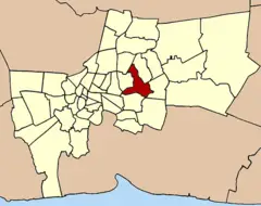
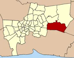
Amphoe 1002
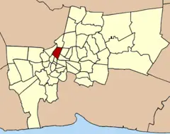
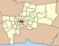
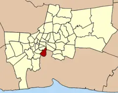
Amphoe 1003

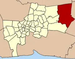
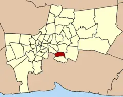
Amphoe 1004
Amphoe 1005
Amphoe 1006
Amphoe 1007

Amphoe 1008
Amphoe 1009
Amphoe 1010
Amphoe 1011
Amphoe 1012
Amphoe 1013
Amphoe 1014
Amphoe 1015

Amphoe 1016
Amphoe 1017

Amphoe 1018
Amphoe 1019
Amphoe 1020