Baku, Baki
Baku: Located on the western coast of the Caspian Sea, this major port city is the capital and largest city of Azerbaijan.
About

Quick Facts about Baku
| Population | 2,262,600 |
| Country | Transcaucasian Democratic Federative Republic, Azerbaijan Democratic Republic, Azerbaijan Soviet Socialist Republic, Transcaucasian Commissariat, Azerbaijan, Soviet Union, Russian Empire |
| State | Baki (Azerbaijan) |
| Postal code | AZ1000 |
| Plate code | 90, 99, 10 |
| Phone Area Codes | 12 |
| Area | 2130 km2 |
| Official name | Bakı |
| Latitude & Longitude | 40.3777,49.8920 |
| Official language | Azerbaijani |
| Altitude | -92 feet / -28 meters |
| Capital city | Baku is capital of Q4075907, Baku Uyezd, Azerbaijan Democratic Republic, Azerbaijan, Baku Governorate |
| Establishment | January 01, 0100 (1926 years ago) |
| Time Zone | UTC+04:00 |
| Local time | 01:42:49 (10th June 2026) |

Montage of Baku 2019 image
Geography
Baku is located at 40°22'40"N 49°53'31"E (40.3776700, 49.8920100).
Baku map
Click "full screen"  icon to open full mode. View satellite images
- Aberdeen
- Acapulco de Juárez
- Amman (1989 )
- Balakovo
- Basra
- Bordeaux (1979 )
- Christiansted
- Dakar
- Honolulu County
- Houston (1976 )
- Istanbul
- Jeddah
- Konya
- Kyiv (1997 )
- London
- Mainz (1984 )
- Naples
- Pretoria
- Rio de Janeiro
- Saint Petersburg (1998 )
- Sarajevo (1972 )
- Sivas
- Stavanger
- Tabriz
- Venice
- Vũng Tàu
- İzmir (1985 )
Demographics
| Year | Population | % Change | Method |
|---|---|---|---|
| 1897 | 111,904 | - | 44163 |
| 1926 | 446,832 | 74.96% | 44163 |
| 1939 | 543,939 | 17.85% | 44163 |
| 1959 | 642,507 | 15.34% | 44163 |
| 1970 | 851,547 | 24.55% | 44163 |
| 1979 | 1,021,969 | 16.68% | 44163 |
| 1989 | 1,150,055 | 11.14% | 44163 |
| 2012 | 2,122,300 | 45.81% | 44163 |
| 2014 | 2,181,800 | 2.73% | 44163 |
| 2018 | 2,262,600 | 3.57% | 44163 |
BAK, Bacu, Bacú, Baki, Bako, Bakoe, Bakou, Bakue, Bakuo, Bakuu, Baky, Bakó, Bakú, Bakû, Bakü, Bakı, Baqu, Boku, Mpakou, ba ku, bakku, bakw, bakww, pakku, Μπακού, Баку, Бакы, Баҡы, Боку, Բաքու, באקו, باكو, باکو, باکوو, बाकु, बाकू, বাকু, பாக்கு, ബക്കു, บากู, པཱ་ཁི།, ბაქო, ባኩ, バクー, 巴库, 바쿠
Map & Images (more maps)
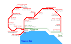
Baku Metro Map
695 x 422
- 19,939k -
png
Baku Metro Map 1
695 x 422
- 19,939k -
png
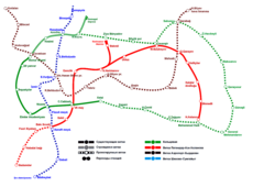
Baku Metro System Map
1191 x 842
- 46,835k -
png