Western Australia Locator Mjc
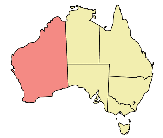
Click on the Western Australia Locator Mjc to view it full screen. File Type: png, File size: 8208 bytes (8.02 KB), Map Dimensions: 563px x 476px (256 colors)
More Commonwealth of Australia Static Maps
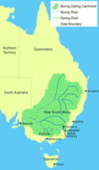
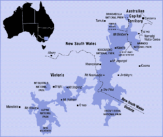
250px Murray Catchment Map Mjc02
250 x 430 - 9,477k - png
Aus Locator Map
920 x 832 - 19,514k - png
Abortionlawsaustraliamap
600 x 544 - 13,545k - png
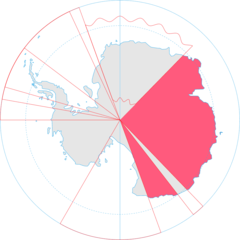
Antarctica, Australia Territorial Claim
920 x 920 - 33,509k - png
As Map Zh Cn
329 x 353 - 17,953k - png
As Map
329 x 353 - 20,089k - png
Aus Layered Day(center)
1636 x 1608 - 357,861k - jpg
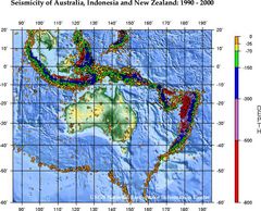
Ausseis
556 x 449 - 89,173k - jpg
Austalpsregionmap
576 x 482 - 56,010k - png
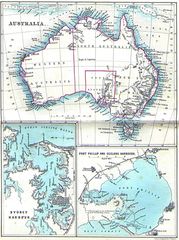
Australia 1860
1400 x 1872 - 377,020k - jpg
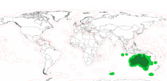
Australia Exclusive Economic Zones
2410 x 1178 - 78,849k - png
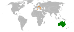
Australia Kosovo Locator
920 x 406 - 24,039k - png
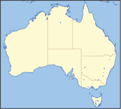
Australia Locator Map
920 x 831 - 20,520k - png
Australia Melbourne Inner Locator
613 x 378 - 6,259k - png
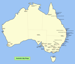
Australia Big Things Map
1789 x 1534 - 64,969k - png
Australia Blue
556 x 528 - 13,488k - gif
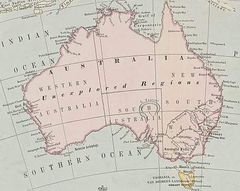
Australia First Map
1800 x 1347 - 263,637k - jpg
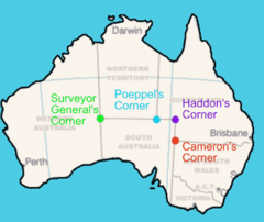
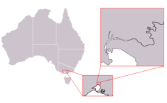
Australia Four Corners Surveyors Etc
500 x 421 - 24,089k - png
Australia Green
556 x 528 - 20,272k - gif
Australia Location Map Recolored
2190 x 1577 - 37,054k - png
Australia Location Map
2000 x 1797 - 453,120k - png
Australia Locator Mjc (no Whitespace)
497 x 450 - 8,337k - png
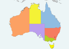
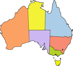
Australia Locator Mjc Coloured (labelled)
497 x 450 - 12,244k - png
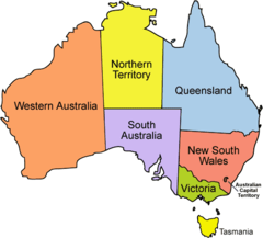
Australia Locator Mjc Coloured
497 x 450 - 8,054k - png
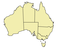
Australia Locator Mjc
563 x 476 - 8,148k - png
Australia Map 1863
457 x 364 - 40,565k - jpg
Australia Map
920 x 849 - 45,402k - png
Australia Mapa
1200 x 948 - 361,768k - png
Australia Orange
556 x 528 - 20,597k - gif
Australia Purple
556 x 528 - 20,195k - gif